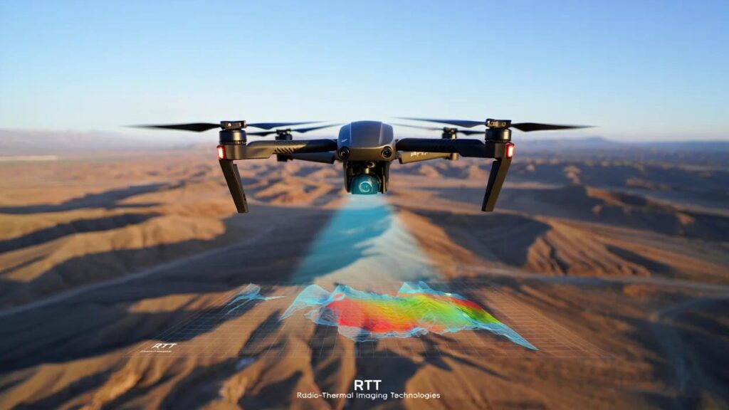
RTT (Radio-Thermal Imaging Technologies) combines the use of radio frequency (microwave) and thermal imaging techniques to obtain detailed information about target objects across various domains — including public safety, military applications, geology, and more.
“SEARCH” and “RTT” Technology Presentation –>

Operating Principle
The operating principle involves using Earth’s thermal radiation in the radio frequency range, which is detected by specialized satellite or airborne radiometers. Proprietary software enables the creation of detailed geological environment models by analyzing the distribution of thermal flux. The method’s accuracy exceeds 90%.